• After 15+ years, we've made a big change: Android Forums is now Early Bird Club. Learn more here.

My test of freeware Android offline GPS navigation applications

RockSockDoc

Newbie
Nov 11, 2012
47
36
This month, I tested 20 Android GPS navigation applications on my T-Mobile Android 4.3 (non-rooted) Samsung Galaxy S3 - with the following 7 meeting the strict requirements of being purposefully freeware, automotive-based, and usable offline (either when out of range of cellular signal, or sans a data plan):

  1. MapFactor, Navigator, v1.0.35
  2. (Fdroid), OsmAnd~, v1.5-ARM (not the Google Play crippleware version)
  3. Aponia, Be-On-Road, v3.9.26239
  4. Geolife, NavFree USA, v2.1.17
  5. Zoff, ZANavi, v2.0.19
  6. Alk, CoPilot, (timed-out trialware, that turns into decent crippleware)
  7. Google, Maps (30-day map tiles downloaded using the search "OK maps" feature)
11361802725_76f349e1bb_o.gif


SUMMARY:
Having used GPS tracking since the days of serial-port laptops (held literally on our lap while driving), to heavy six-alkaline-battery StreetPilot III units on dashboard bean bags, to a handful of the windshield-mounted Garmin n
 
The following offline offroad free apps were tested:
1. Google My Tracks
2. US Topo Maps Free
3. Locus Free
11362058644_5bd43c9ee7_o.gif


USE MODEL:
My use model is to use Google My Tracks for everything except when I need to zoom down to closer detail. Then I use US Topo.

Testing each of them on a series of 5-mile hikes in the hills, my tentative ordering is as shown above.

a. Google MyTracks, v2.0.5
https://play.google.com/store/apps/details?id=com.google.android.maps.mytracks
PRO: Gorgeous and accurate topo maps
PRO: Tracks easily.
PRO: Exports KML nicely.
PRO: Nice distance, elevation, speed, time plots.
CON: Can't zoom to the level that you want to for off-trail hiking.

b. Atlogis, US Topo Maps Free, v1.1.0
https://play.google.com/store/apps/details?id=com.atlogis.northamerica.free
PRO: You can pinch-zoom to the level that you need for offtrail hiking.
CON: Maps are older versions of USGS paper maps (not the newest versions).
CON: GUI for creating tracks and exporting them is not intuitive.

c. Asamm, Locus Free, v2.17.4
http://play.google.com/store/apps/details?id=menion.android.locus
PRO: You can pinch-zoom to the level that you need for offtrail hiking.
PRO: Shows GPS coordinates at all times
CON: Ads are a bit intrusive compared to the other free offline maps
 
Upvote 0
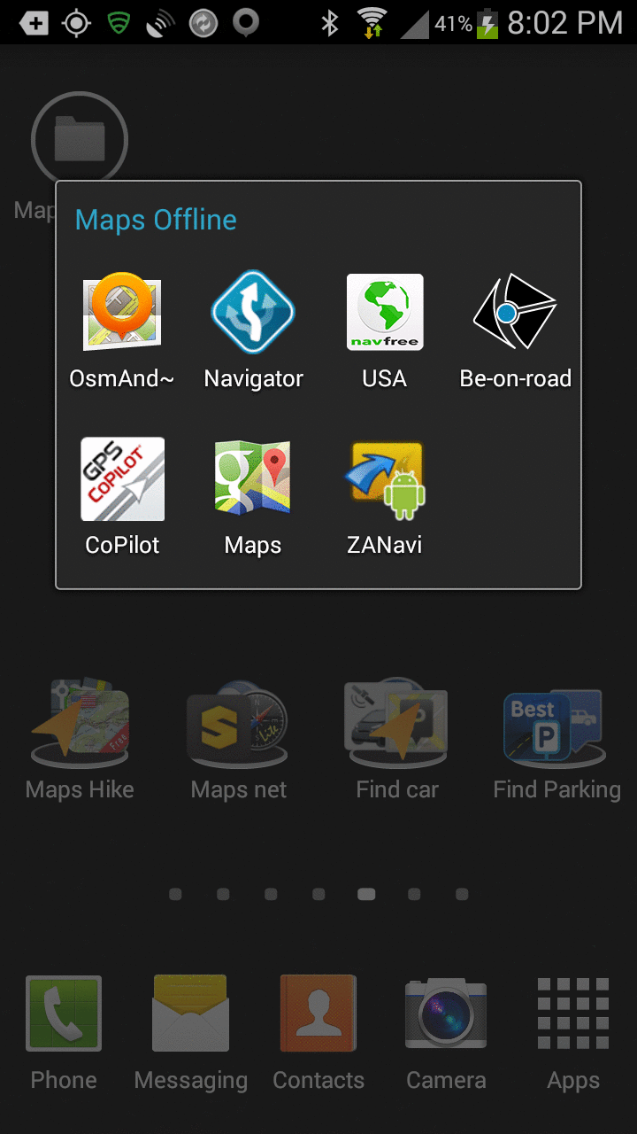
The following were considered for testing only briefly, and failed *my* initial tests or criteria, for a variety of reasons, mostly either they didn't fit the need (i.e., free, offline) or their GUI was so horrid from the start so as to be unusable.

a. CloudMade: MapDroyd, v2.0.4, OSM data
https://play.google.com/store/apps/details?id=com.osa.android.mapdroyd
PRO: I can't think of anything good to say about this map application
CON: Really really really slow map drawing (I'm not sure why).
CON: Can't route; can't talk.
b. MapsWithMe: Maps With Me Lite, OSM data
https://play.google.com/store/apps/details?id=com.mapswithme.maps
PRO: I can't think of a single thing good about this program.
CON: Doesn't route; doesn't talk; doesn't do anything but show your postion.
CON: Crippleware does not have a search capability
CON: Half the icons on the front map don't work in the crippleware.
CON: Phones home by default unless you turn it off in the settings.
c. Telenav: Scout, v1.6.1.7610003
https://play.google.com/store/apps/details?id=com.telenav.app.android.scout_us
Note: Complains "Unable to reach server"
Hint: Remove Sim card before installing & give it a bogus phone number.
d. Sygic: GPS, v13.2.2 Uses TomTom maps
https://play.google.com/store/apps/details?id=com.sygic.aura
Note: Not freeware; so it shouldn't be on this list (7 day free trial only)
CON: After timing out, the program simply refused to run (so I deleted it)
PRO: POIs and street addresses are available offline
PRO: Phone numbers in POIs (and they're callable from the map app)
PRO: Locates POIs in the defined route, even offline.
CON: The next turn isn't shown until you're only a couple miles away! :(
e. 66: Navigate 6, v5.13.46.DB3B2C1.73F9DB5
https://play.google.com/store/apps/details?id=com.route66.maps5
Note: Uses TomTom maps; routing is not free & maps time out in 30 days
f. Prodevelop: gvSIG Mini Maps, v1.2.3
PRO: The route "to here" usability should be a nice feature
CON: The program crashed on me so many times I gave up.
CON: The maps wouldn't start downloading (and they were only tiles anyway)
g. Google Waze
PRO: Crowd-source up-to-date traffic information
CON: Does not work offline, so it was not tested
h. Mictale: GPS Essentials, v3.2.9
https://play.google.com/store/apps/details?id=com.mictale.gpsessentials
PRO: Automatically caches map tiles that you specifically have looked at.
PRO: Bills itself as the Swiss Army Knife of GPS applications
CON: You only see gray area for map tiles you haven't cached.
CON: Confusing interface. I just can't get it to do what I want.
i. Code Sector: Maverick Lite, v2.2, OSM & MapQuest & Microsoft & others
https://play.google.com/store/apps/details?id=com.codesector.maverick.lite
PRO: Maps are great! (Microsoft & MapQuest at least)
PRO: Address search is pretty good but only works online.
PRO: Once you've found an address, you can auto-open in another program!
INF: It's good mapping software but I don't see any routing at all?
CON: Crippleware won't search POIs but will allow Lat/Lon entry.
CON: Won't save anything for future use other than saved wavepoints.
CON: Can't do an address search offline.
CON: Doesn't cache maps offline all that well (unreliable).
j. Ulmon, City Maps 2Go, v3.8.0.14, Database = OSM
https://play.google.com/store/apps/details?id=com.ulmon.android.citymaps2go&hl=en
PRO: The maps are readable and the POI search is easy to use
CON: Does not route! (Will only *show* your position on the map)
CON: Limited to 5 free maps but California itself has 58 counties!
CON: Crashed dozens of times on my Android 4.3 Samsung Galaxy S3
 
Upvote 0
I've used NavFree USA a number of times for offline navigation. My impression of it is that it is adequate for a free, offline navigation app.

The pros is that it is offline and does a good job getting to your destination.

The cons is that the search UI is rather unfriendly. Also, I question the accuracy of the search in finding the correct location of the destination. I used it to look for an address in downtown San Francisco and it was off by several blocks. Since then, I always check the location ahead of time on Google Maps.
 
Upvote 0
Google really needs to optimize there offline maps, it would make everything so much better if they just fixed it so you could make a larger area for offline without it taking up so much space on your device.

I don't have a problem with the space it takes up. I would like navigation to be available while offline.
 
Upvote 0
Thanks for doing all the work, very impressive!!

I looked and looked for an offline alternative. I tried several (funny most of the same ones you did.) I finally ended up buying the ALK: CoPilot. The maps are good, the voice stuff is good, it does have audible feedback for taps on the screen (funny how important that is when driving) and they seem to keep their maps up well. It has a ton of features that Google either doesn't have or Google has opted to remove and it works well. The most recent update will also show up as an option when using Chrome-to-Phone. Anyway, for less than $10, I find it the best of the options. I haven't stumbled across a situation where it pissed me off yet, but I still have time... Thanks again for all your work and the above is just my opinion.
 
Upvote 0
I'm confused Google Maps allows this? Just download a portion of map that you need, granted I don't think it can be that big.

Yeah, they added that ability a while back. I used it once when they first released it, but haven't since. Basically it allows you to go to the map and zoom out a section that it downloads locally. I don't remember how big it can go, but I know I got a pretty big chunk of my home city and surrounding areas.
 
Upvote 0
Yeah, they added that ability a while back. I used it once when they first released it, but haven't since. Basically it allows you to go to the map and zoom out a section that it downloads locally. I don't remember how big it can go, but I know I got a pretty big chunk of my home city and surrounding areas.

But even with the maps downloaded, it doesn't allow off line routing.
 
Upvote 0
Yeah, they added that ability a while back. I used it once when they first released it, but haven't since. Basically it allows you to go to the map and zoom out a section that it downloads locally. I don't remember how big it can go, but I know I got a pretty big chunk of my home city and surrounding areas.

I think it is somewhere around 20MB or so. That is the largest section you can keep offline. I find it very handy when on holidays in another country where I would incur roaming charges if I have to download maps as I go.

The really need to allow offline routing I mean I don't understand why it can't work since you have saved the map. I mean you could just set both your starting and finishing point within that area map.

I think Google likes to know where we are navigating to.
 
Upvote 0
I would like [Google Maps] navigation to be available while offline.

I'm confused Google Maps allows this?

Basically it allows you to go to the map and zoom out a section that it downloads locally

But even with the maps downloaded, it doesn't allow off line routing.

The really need to allow offline routing

I agree with all the comments above.

Just to clarify, Google Maps, when online, does a lot of things that don't work offline.
You can download Google map tiles online by typing "OK Maps" in the search window. This will download smallish tiles, of, say, the San Francisco Bay Area. If you want to add Santa Cruz, you need to add another tile. If you want to add Gilroy, you add another tile. And so on.

Once you go offline, the only thing that I can get Google maps to do is show my position with a round blue dot in the map tile. There is no more routing. No text to speech. No routing directions. And there are no POI searches available. You're just a blue dot faithfully following the road.

In addition, Google "updates" their maps in 30 days, so, you lose all your downloaded tiles every month, unless you do things to keep them (these tricks are outlined on the web).

In summary, Google Maps are fantastically accurate, and therefore are worth the trouble to keep on your phone; but they're not a solution for offline routing.
 
Upvote 0
Bump. I was looking for a thread where I've previously reviewed MapsWithMe (so I could mention that the Pro version is free today on Amazon) and found this thread instead. I think I didn't even bother reviewing it since it doesn't do routing, just map display. Anyway...

Thank you RockSockDoc for all the work finding and reviewing the apps! I thought I had compiled a decently complete list but there are a bunch there that I didn't find or didn't consider.

Question: In OsmAnd and Mapfactor Navigator, how do you search for an address while offline? I'd accept inaccuracy, but I'd just like to be given the option to try. Not being able to search for an address makes a navigation app almost useless for me.

I keep NavFree USA, Mapfactor Navigator, and cached Google Maps on my phone. NavFree USA isn't quite stable for me but it can search by address, so I can look it up there, see the nearest intersection, and if it dies I can feed that intersection into Mapfactor Navigator which is stable. If necessary I can tediously look through my cached Google Maps for info too.

The reason Google Maps routing doesn't work offline is that they offload address search and route processing to their servers.

Side note: If you have expensive or spotty data connectivity but aren't completely without mobile data, you might do well to cache google maps or use your preferred offline nav app but allow it to search and route online. Those functions should use little data, it's the maps that take a bunch of data.
 
Upvote 0
In OsmAnd and Mapfactor Navigator, how do you search for an address while offline?

I apologize for not seeing this until now as I'm not on here often.

Over the past few months, I've whittled down my free offline map routing to two applications only, just for the same reason that you're asking that question.

1. I use MapFactor Navigator whenever I already have a location saved.
2. I use Alk CoPilot crippleware whenever I need to find a new POI or address.

In general, FDroid OsmAnd~ and MapFactor Navigator are similar so you can use either one, but, I found MapFactor Navigator easier to use than OSMAnd~.

I gave up on offline Google Maps (mostly because they get deleted every 30 days, although there are ways to prevent that "update" from occurring).

So, I mostly use a combination of Alk CoPilot (whenever I'm routing to a brand new location) and MapFactor Navigator (when I already have the location saved).

I can look it up there, see the nearest intersection, and ... I can feed that intersection into Mapfactor Navigator ... If necessary I can tediously look through my cached Google Maps for info too.

To answer your main question, I often do (essentially) the same thing you do, which is to find the location in the non-OSM-based map app, and then plug that location (or the nearest landmark) into the OSM-based map app.

In practice, that nearest landmark is most often an intersection, as you have found out yourself.

But there are other ways I've used to handle this common situation.

At first, I was painstakingly determining the GPS coordinates of the location using non-OSM-based map apps ... and then I plugged those GPS coordinates into the OSM-based map apps. But, none of the developers of the offline map apps (OSM or otherwise) thought to make the GPS-coordinate use model particularly usable.

Because of the horrid coordinate-based use model, I started to do what you do, which is to find the exact location on the non-OSM-based map apps and then enter the nearest landmark onto the OSM-based map apps.

Eventually, I compromised into this hybrid use model.

  1. For difficult sites, I find (and save) the POI or street address using Alk CoPilot crippleware and then I enter the nearest landmark into MapFactor Navigator freeware.
  2. I navigate from the start to within a mile (or so) of the location using MapFactor Navigator (which conveniently speaks turn directions into my Bluethooth A2DP speaker).
  3. If necessary, I switch to the non-speaking Alk CoPilot crippleware to navigate the final half mile (but most of the time, I don't need to bother because I can visually see the location by the time I'm nearly there).
Note: If Alk CoPilot Android payware only spoke TTS street names, it could easily be the only GPS map app I would use; but even within the first 14 days of the free trial, it only spoke turn directions - so - in that regard, it's no better than the freeware since it does not have TTS capability.

Note: My major complaint about Navigator is that it does not speak road names (i.e., it does not have TTS); but, it turns out, that none of the decent freeware map applications has TTS (and neither do quite a few payware apps). It's also a bit slow to announce the next turn, but, again, other map apps suffer from the same affliction.

Note: ZNavi speaks road names (TTS); but ZNavi must be considered not even beta ready, based on my experience with the app.
 
  • Like
Reactions: divinebovine
Upvote 0
BTW, while we're at it, the main usability feature I found lacking in almost all the routing applications was the ability to repeat the spoken directions easily.

I find myself constantly turning off navigation and then turning it back on in MapFactor Navigator, just to have the spoken directions repeated (of course, they're also updated if any appreciable distance has transpired in between).

To that end, I sorely miss the Garmin n
 
Upvote 0
Thanks, I really appreciate your insight!

Since CoPilot trial is still useful even as crippleware, I might add it to my arsenal. Navfree USA is mostly doing the job but I find its data entry interface irritating with the on-screen keyboard insistently popping up when I don't want it and difficult to dismiss, plus the way it handles my input. It might be better if I try it on my qwerty phone, though.

At this point I have a new problem, and maybe you can offer some insight. In a web browser on a PC I made some Google Maps full of POIs and saved them to my Google account. I also added one map that someone else made, with hundreds of POIs. I'd like to take them with me to use in these apps but I can't see any way to import POIs.
 
Upvote 0
I'm sorry I haven't responded sooner because I don't log in often unless I intend to update this thread. Unfortunately, I haven't ever tried to import POIs so I don't know any more than you do at this point.

I've often wanted to migrate my POIs for each of the various map apps to additional Android phones in my family, so, when I do that, I may have more information for you.

For now, since I just bought my first iPad this week, I wanted to add important iOS-specific datapoints, which may be of interest to Android users (by way of comparison):

1. Amazingly, the iOS Alk CoPilot 14-day trialware (version 9.5.0.435) does speak road names in addition to turn-by-turn directions, during the trial period. (So, why it won't do the same on Android 4.3, is beyond me.)

2. Unfortunately, my favorite freeware, MapFactor Navigator, does not exist on iOS. (So, I'm using Aponia Be On Road, version 3.9.1.26385, but I'm not in the least happy with it, so I will switch that out to a better free offline gps map app soon.)

3. Happily, I can finally get an easy way to repeat spoken directions simply by tapping the next-turn instructions in the native Apple "Maps" application (no version number available), just like the Garmin n
 
Upvote 0

BEST TECH IN 2023

We've been tracking upcoming products and ranking the best tech since 2007. Thanks for trusting our opinion: we get rewarded through affiliate links that earn us a commission and we invite you to learn more about us.

Smartphones